
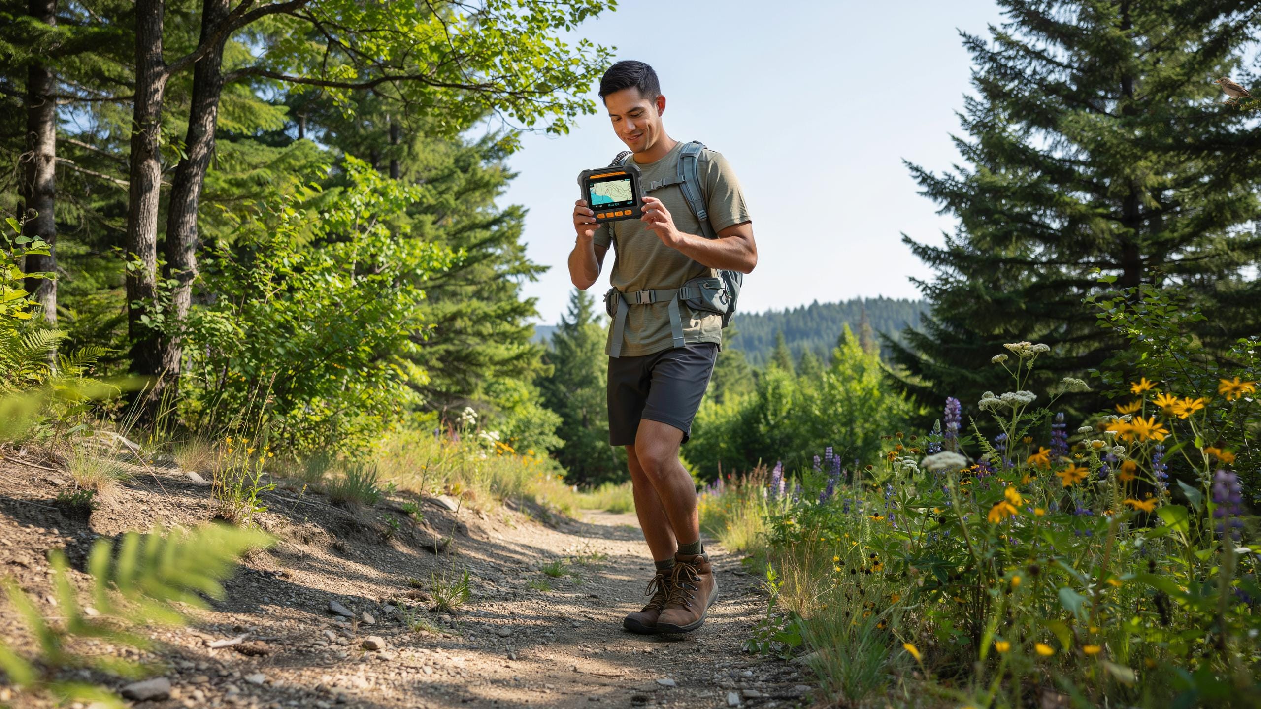
The Solo HikerS Dilemma Why Cell Service Fails
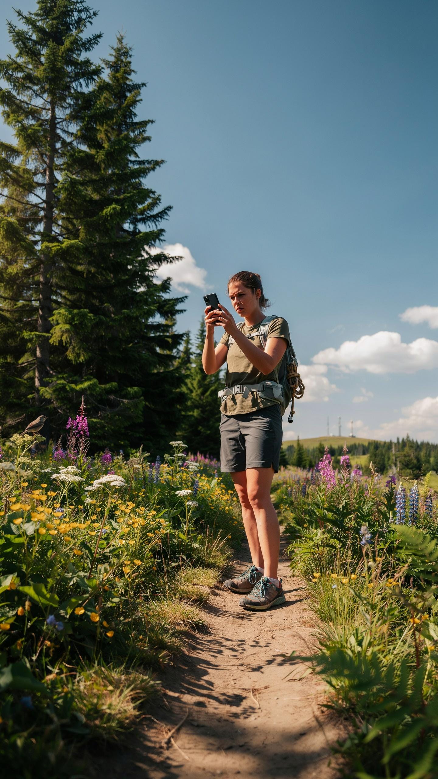
Understanding Remote Area Communication Gaps
Cellular networks require towers spaced at regular intervals to transmit signals. Mountains, dense forests, and deep valleys obstruct radio waves that carriers need to reach your phone. Most carriers prioritize coverage in populated areas where profit margins justify infrastructure investment. Remote hiking regions lack the population density to warrant tower placement, leaving entire regions with zero signal regardless of your phone’s capability.
Your smartphone becomes a paperweight in these dead zones. Even satellite phones designed for remote use operate on different frequencies than cellular networks. Hikers who rely solely on cellular connectivity discover the hard way that emergency calls fail when needed most. Terrain analysis shows signal gaps expand significantly beyond fifty miles from major highways or towns.
The Risks Of Going Off Grid Unprepared
Solo hikers without communication face compounding dangers when emergencies occur. A twisted ankle, sudden illness, or disorientation transforms into a critical situation when rescue teams cannot locate you. Weather changes rapidly in exposed terrain, and hypothermia develops faster than many realize. Without communication, you cannot alert anyone to your condition or location.
Getting lost happens to experienced hikers regularly. Search and rescue teams operate on incomplete information when they lack your last known position or intended route. Delayed rescue by even hours significantly impacts survival outcomes for injured or hypothermic individuals. The risk multiplies in winter conditions, at high elevation, or in unfamiliar terrain where self-rescue becomes impossible.

Gps Tracking Your Lifeline In The Wilderness
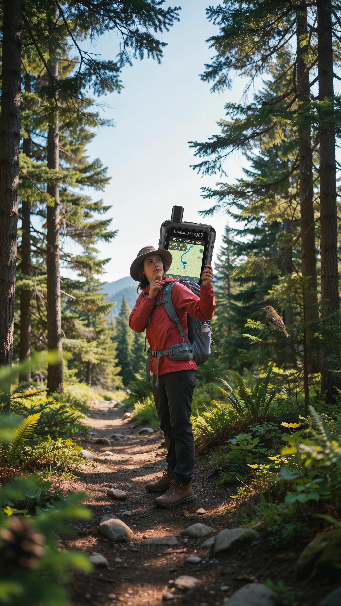
How Gps Technology Works For Outdoor Navigation
GPS operates through a network of satellites orbiting Earth. Your device receives signals from multiple satellites simultaneously to calculate your exact position. The system works independently of cell towers or internet connectivity. This makes GPS reliable in remote areas where cellular networks fail completely. Accuracy typically ranges from 5 to 10 meters under clear sky conditions.
The technology relies on triangulation math. Your device measures the distance from each satellite based on signal travel time. With signals from at least three satellites, your device computes latitude and longitude. A fourth satellite improves altitude accuracy. Cloud cover and dense forest canopy can degrade signal strength, but the system remains functional in most wilderness environments.
The Evolution Of Gps Tracking In Hiking
Military GPS systems emerged in the 1970s. The technology transitioned to civilian use throughout the 1980s and 1990s. Early hiking GPS units were bulky devices with limited battery life and poor interfaces. Manufacturers steadily reduced device size while improving processing power and accuracy standards.

Modern GPS trackers designed for hikers integrate satellite communication with compact form factors. Devices now offer multi-day battery life, real-time location sharing, and two-way messaging. The shift toward lighter, more rugged designs reflects decades of refinement in outdoor recreation equipment. Today’s trackers balance durability, power efficiency, and reliable performance in harsh conditions.
GPS Tracker Product Features What Matters Most Off Grid
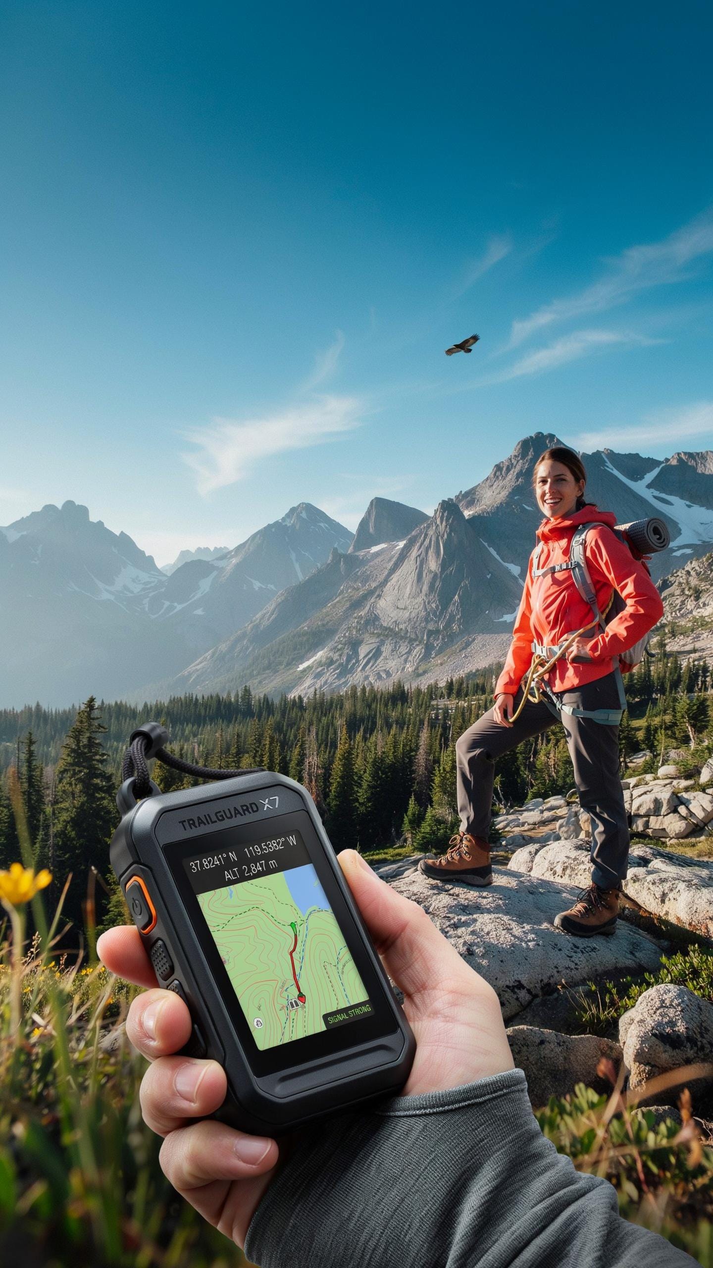
Essential Features For Emergency Preparedness
An SOS button is non negotiable for solo hikers. When you trigger it, the device sends your exact coordinates to emergency contacts or rescue services. Two way messaging lets you communicate without cell towers. You exchange text based messages through satellite networks. Long battery life keeps the device active for multi day trips. Most quality trackers run seven to fourteen days on a charge depending on usage mode.
Real emergency response depends on these features working together. SOS functionality means nothing if your battery dies on day three. Two way messaging confirms rescuers received your signal and can coordinate your location. Battery life extends your safety window in remote terrain. Track your remaining power and switch to low power mode before the battery depletes completely.
Durability Water Resistance And Usability In The Field
Rugged construction handles drops, impacts, and rough terrain. Devices rated for military grade drops survive falls from six feet onto hard surfaces. Water resistance ratings matter directly. An IP67 rating means the device survives temporary submersion in water up to one meter. You need durability because replacement is impossible in the field.

User interfaces must work with gloved hands and low visibility. Physical buttons beat touchscreens on remote trails. Simple menu navigation saves battery power and reduces errors under stress. Test your tracker before heading out. Unfamiliar interfaces cause mistakes when you need speed and accuracy most.
Handheld GPS For Hiking A Dedicated Companion
Advantages Of Dedicated Handheld GPS Devices
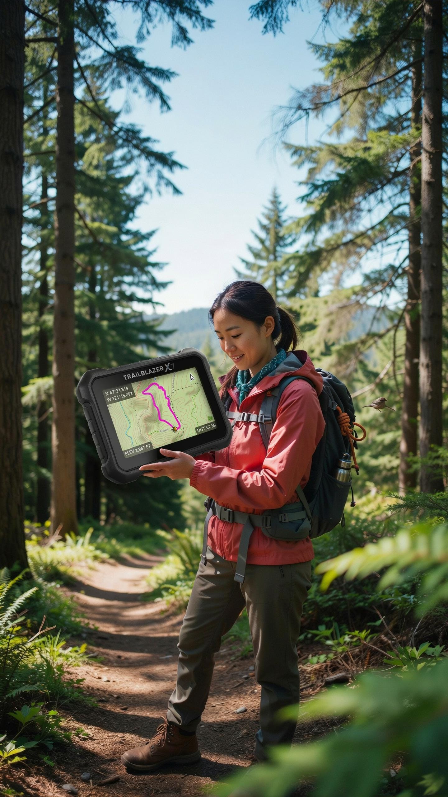
Dedicated GPS units outperform smartphone apps in environments where solo hikers operate. Handheld devices maintain accuracy in dense forest, canyon systems, and areas with weak signal. They pull data from satellites directly, not cellular networks. Battery life extends 15 to 25 hours on standard models, versus 3 to 8 hours on phones. The rugged construction handles drops, water immersion, and temperature swings that destroy smartphones.
Smartphones drain power quickly because they run multiple processes simultaneously. Dedicated units consume minimal power since GPS reception is their only function. Handheld devices feature physical buttons that work in rain and snow without touchscreen failures. Memory storage remains constant and independent of cloud connectivity. For backcountry work without cell service, this hardware independence is non negotiable.
Key Models And Their Differentiating Features
Garmin eTrex series dominates the handheld market for serious solo hikers. The eTrex 32x stores detailed topographic maps and maintains accuracy within 10 meters in open terrain. It accepts preloaded custom map files and tracks breadcrumb trails automatically. Battery life reaches 25 hours on AA batteries, making field replacements practical. The device weighs 141 grams and fits in a cargo pocket.

Magellan eXplorist and Gamin inReach models serve different mission profiles. The eXplorist provides basic navigation without satellite messaging. The inReach combines GPS tracking with two way communication through the Iridium satellite network, sending location data to emergency contacts. inReach systems cost more upfront but enable contact in true wilderness. Choose eXplorist for budget navigation. Choose inReach for active safety communication when alone.
Best Gps For Hiking Choosing Your Ideal Device

Factors To Consider For Your Hiking Style And Needs
Trip length determines battery life requirements and storage capacity needs. Day hikes need devices lasting 8 to 12 hours. Multi-day treks require extended battery or solar charging options. Terrain difficulty affects GPS accuracy and antenna design. Dense forest and canyons weaken satellite signals. Open terrain maintains stronger connections.
Budget shapes which features you access. Entry-level devices cost 100 to 300 dollars and handle basic navigation. Mid-range options run 300 to 800 dollars with mapping and weather data. Premium devices exceed 1000 dollars but offer advanced features. Your frequency of use justifies the investment level.
Though the path may wander far from towers, my trusty companion ensures I always find my way home.
Understanding Subscription Services And Their Costs
Satellite-based GPS trackers require monthly or annual subscriptions to transmit your location and receive emergency support. Monthly plans typically cost 10 to 15 dollars. Annual plans run 100 to 150 dollars, offering better value for committed users. Some services bundle mapping and weather data into single subscriptions. Cancellation policies vary between providers.

Two-way messaging and emergency SOS features demand separate subscription tiers on most devices. Entry-level subscriptions enable basic location sharing and SOS activation. Premium tiers add unlimited messaging and priority rescue response. No subscription plan covers the actual rescue operation. Search and rescue teams handle that independently. Review what each tier includes before committing.
GPS Watch Integrating Navigation With Wearable Tech
The Benefits Of GPS Enabled Smartwatches For Hikers
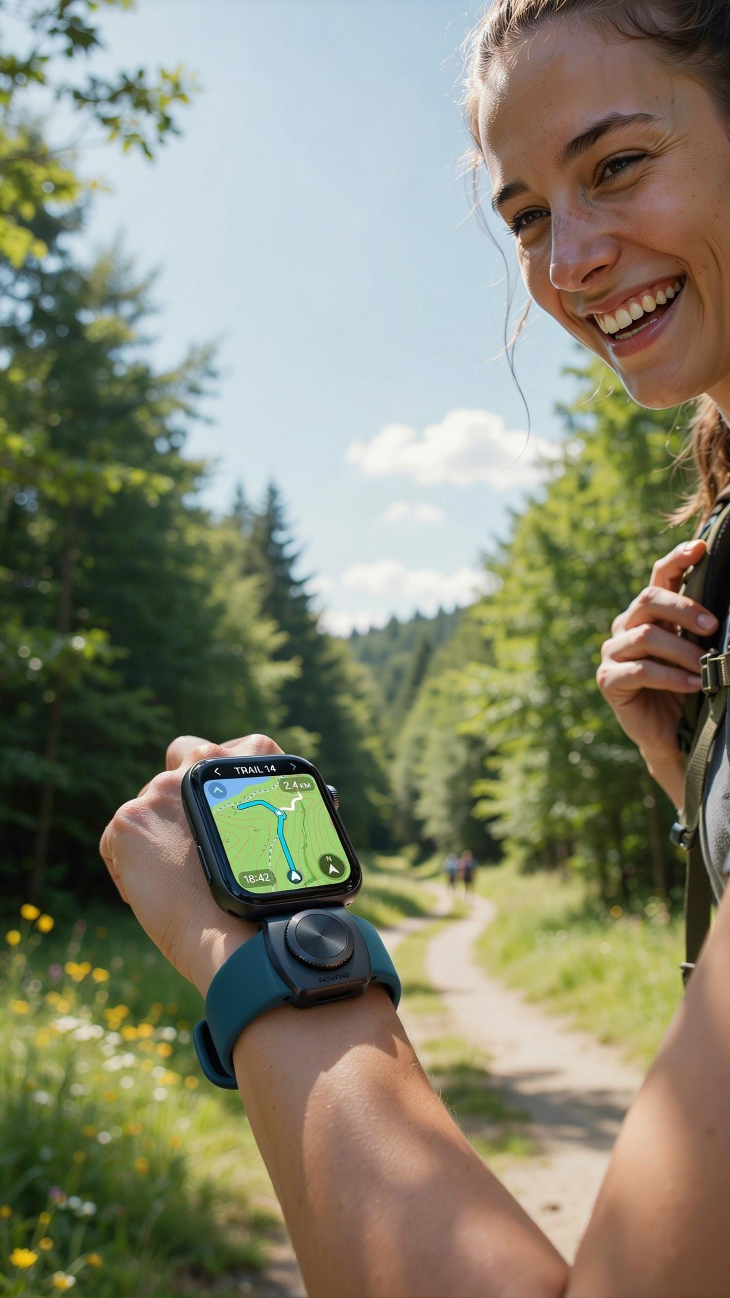
GPS watches combine navigation, activity tracking, and timekeeping into one wrist device. They display your current position, track distance covered, and log elevation gain without requiring a separate handheld unit. Battery life typically ranges from one to seven days depending on GPS usage frequency. The compact form factor means no additional pack weight or bulk.
GPS watches record breadcrumb trails showing your exact route in real time. You can review your path after a hike to identify terrain patterns and plan future trips more effectively. Many models sync data to smartphone apps, creating a personal hiking history. This tracking capability helps you understand your performance and build experience across different trail types.
Limitations Of GPS Watch For Off Grid Emergency Use
GPS watches function as navigation tools but lack the communication features needed for emergencies without cell service. They display your location but cannot send distress signals, text messages, or initiate help requests. Battery depletion becomes critical during extended backcountry situations where you cannot recharge for days.

Smartwatch screens are small, making detailed map reading difficult during complex navigation. The watch alone cannot replace a dedicated two-way communicator like a satellite messenger or personal locator beacon. For solo hikers in remote terrain, a GPS watch works best as a backup device paired with primary emergency communication equipment, not as your sole safety tool.
Beyond Commercial Products GPS Tracking ESP32 Open GPS Tracker

Exploring DIY And Open Source GPS Solutions
Building custom GPS trackers with ESP32 microcontrollers gives hikers control over features and costs. ESP32 boards integrate WiFi, Bluetooth, and processing power in a compact form factor. You pair them with commercial GPS modules like the NEO-6M to capture location data. This approach lets you design trackers for specific needs: lightweight ultra-compact units, extended battery life configurations, or integration with personal weather sensors. Technical skills and component sourcing become your limiting factors.
Open-source GPS tracking projects exist across GitHub and maker communities. Projects like OpenGPS Tracker and various Arduino-based solutions provide code frameworks you can modify. These platforms eliminate licensing costs and vendor lock-in. You own the data pipeline entirely. However, you must handle firmware updates, troubleshoot hardware failures in the field, and maintain the system independently. Commercial products shift these burdens to manufacturers through warranty and support services.
Advantages And Disadvantages Of Open Source Alternatives
Open-source solutions cost significantly less than commercial trackers. Component costs typically range from thirty to one hundred dollars depending on GPS module quality and battery capacity. You avoid subscription fees for cloud services if you use local data storage or personal servers. Customization flexibility means you modify code for your exact hiking profile. You can optimize battery consumption algorithms or adjust update frequencies based on terrain. This granular control attracts hikers with specific technical demands.

Disadvantages center on reliability and maintenance burden. Building and testing a GPS tracker requires electronics knowledge and debugging skills. Field failures become your problem to solve without manufacturer support. Reliability depends on your testing rigor. Commercial trackers undergo factory testing and quality control. Open-source projects lack this industrial vetting. Battery performance and GPS accuracy vary with component selection and design choices. You invest time in development that commercial products eliminate entirely.
Preparation And Practice Maximizing Your GPS TrackerS Effectiveness
Pre Hike Planning: Route Mapping And Waypoint Setting
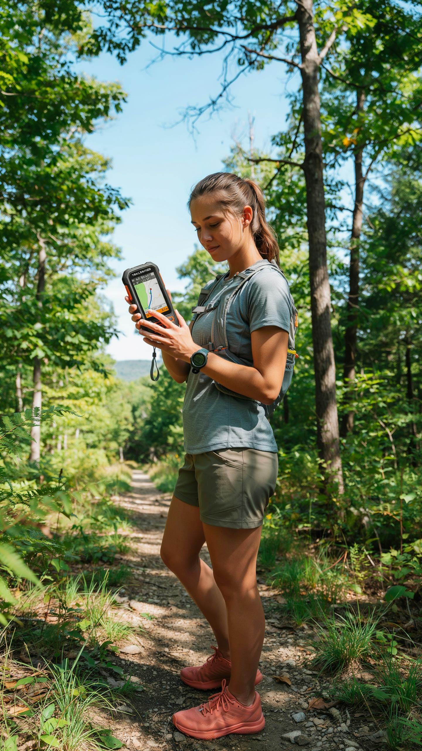
Download your route onto your GPS device before you leave cell service areas. Most GPS trackers allow you to preload maps and create waypoints at key locations. Mark trailheads, water sources, camp spots, and emergency exits. This offline capability is critical when no connectivity exists on your route.
Set waypoints at regular intervals along your planned route. Establish a waypoint every one to two miles on longer hikes. Input landmarks where the trail changes direction or splits. Having these reference points loaded eliminates navigation guesswork and reduces decision fatigue in the field.
Familiarizing Yourself With Your Device In Safe Environments
Practice with your GPS tracker in a local park or neighborhood before tackling backcountry terrain. Learn how to power it on, access maps, mark waypoints, and activate emergency features. Understanding these functions at home prevents critical mistakes during actual emergencies. Test battery life under real conditions to know your device’s actual runtime.
- Button Navigation: Practice menu scrolling and feature access until muscle memory develops so you can operate the device without looking during hikes.
- Screen Readability: Test your device in bright sunlight and low light to confirm you can read the display under all conditions you’ll encounter.
- Battery Performance: Record how long your GPS tracker runs on a full charge during continuous use to establish realistic operation windows.
- Satellite Acquisition: Observe how quickly your device locks onto satellites and whether it works near trees, buildings, or in open areas.
- Waypoint Creation: Create and delete waypoints repeatedly to master the process so you can do it efficiently on the trail.
Run practice hikes at progressively challenging difficulty levels using your loaded maps and waypoints. Start with trails you know well, then move to unfamiliar routes. This graduated approach builds confidence and reveals any device limitations before you depend on it for solo survival.
Staying Found Advanced Navigation Techniques And Best Practices

Combining GPS With Traditional Navigation Skills
GPS devices fail. Batteries die. Satellites drop signal in canyons and dense forest. Your map and compass work without power and without any infrastructure. Learn to read topographic maps before your hike. Understand contour lines, elevation changes, and terrain features. Practice compass navigation on day hikes. Know how to triangulate your position using landmarks. These skills take hours to develop but minutes to save your life.
Your GPS tracker is a tool, not a crutch. Cross reference your GPS coordinates with your paper map constantly. This catches navigation errors early. If your GPS shows you’re somewhere impossible according to the terrain, trust the map first. Verify waypoints on the map before you enter them into your device. Solo hikers cannot afford navigation mistakes. Redundancy keeps you found.
Emergency Protocols And Communication Strategies
SOS functions on GPS trackers like Garmin InReach and PLB devices transmit your coordinates to rescue services. Know how to activate your device’s SOS before you need it. Read the manual at home. Test it in safe conditions. When you trigger SOS, rescuers receive your exact location within minutes. Provide clear information about your situation, injuries, and immediate needs. Stay calm and conserve energy while waiting for help.
Power management during emergencies determines survival. Most trackers drain faster when transmitting. Switch to low power mode immediately after sending SOS. Disable non essential features like weather updates or map downloads. Ration your check ins with base camp. Send brief messages instead of long text. One message uses less power than five. Fully charge your device before every hike and carry a portable power bank. Dead batteries during emergencies are unacceptable.
Frequently Asked Questions

What exactly is a GPS tracker for solo hikers and why do I need one if my phone has GPS?
A GPS tracker for solo hikers is a specialized device designed for remote areas where cell service is nonexistent. Unlike your phone’s GPS, which often relies on cellular data for detailed maps and communication, these trackers use satellite networks. This means you can send SOS signals, share your location, and even communicate with loved ones, ensuring safety far beyond cell tower range.
How do I choose the best GPS tracker for solo hikers to fit my specific adventure needs?
When selecting a GPS tracker for solo hikers, consider the type of terrain and duration of your hikes. Look for features like long battery life, durability, and two-way messaging capabilities. Some devices also offer pre-loaded maps or subscription plans for advanced weather updates and tracking services. Prioritize reliability and ease of use in challenging conditions.
Are there affordable options for a GPS tracker for solo hikers, or are they all very expensive?
While some high-end GPS trackers can be an investment, there are definitely more budget-friendly options available that still provide essential safety features. Look for entry-level satellite communicators that offer basic SOS and location sharing without all the bells and whistles. You can often find refurbished models or look for sales to make a GPS tracker for solo hikers more accessible.